
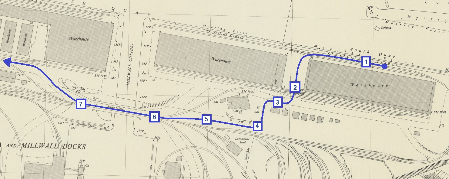
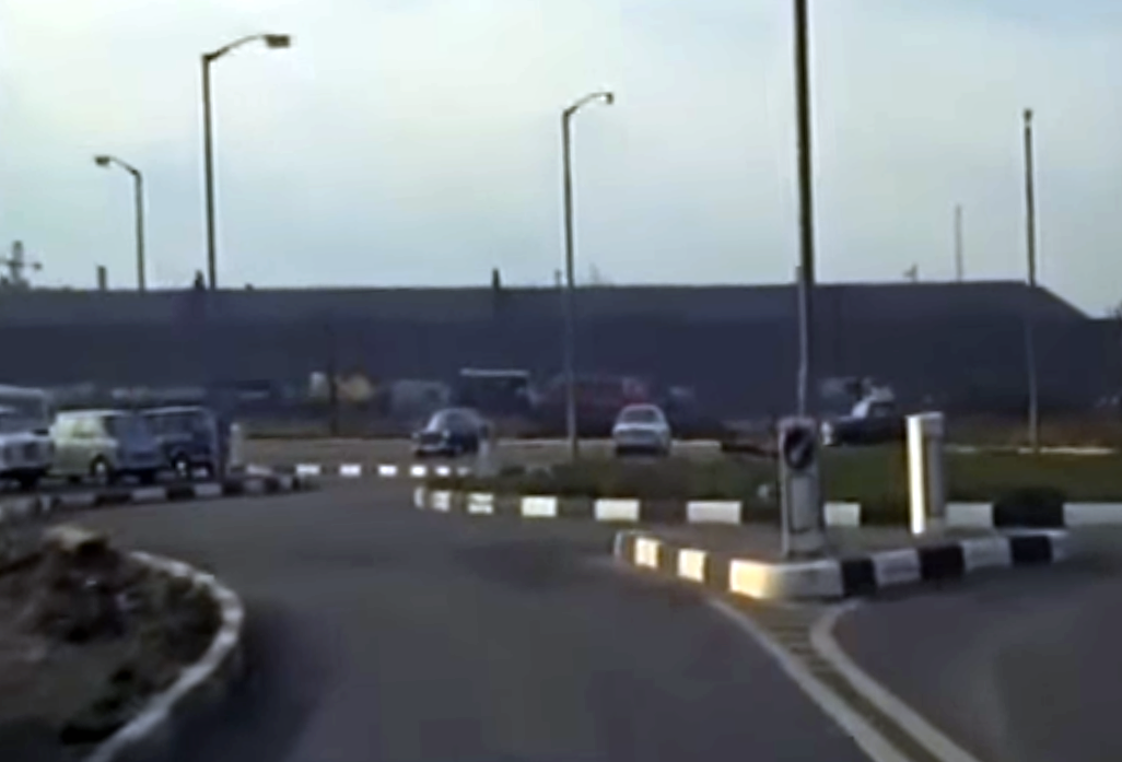
Archive film company Kinolibrary posted a great little film on YouTube. Titled “POV Through 1960s London Docks. 35mm Docklands”, it shows just over two minutes of a drive through West India Docks seen from the driver’s point of view.
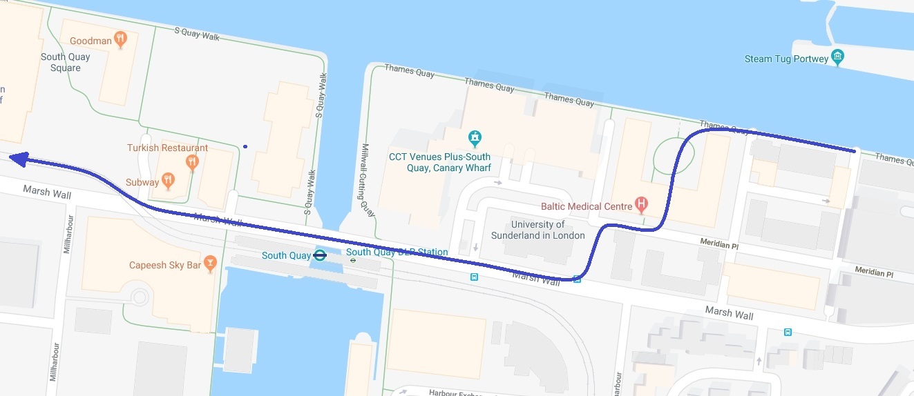
The journey starts on the south quay of the West India South Dock, and winds its way around the southern edge of the West India Docks, more or less following the route of the modern-day road, Marsh Wall, before ending outside what is now the Museum of London Docklands.
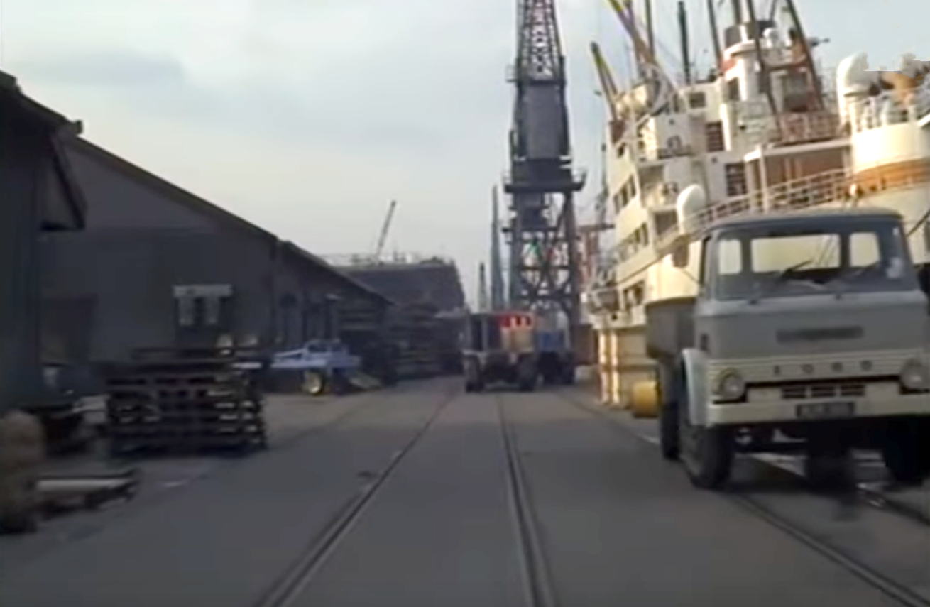
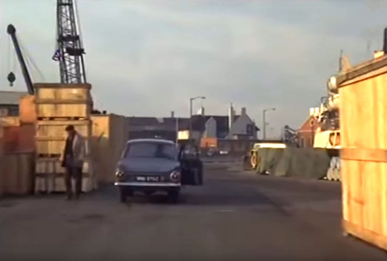
Even for a complete Island history nerd like me, much is unfamiliar. Of course, I never went in the docks – I had no reason to – but it surprises me how much open space there was, and how it all seems a bit shambolic, with goods piled up all over the place. I am sure there was a method to the madness and nothing ever went missing.
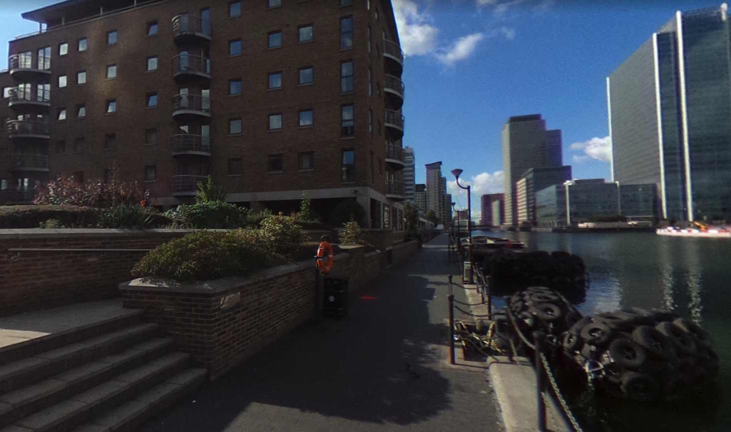
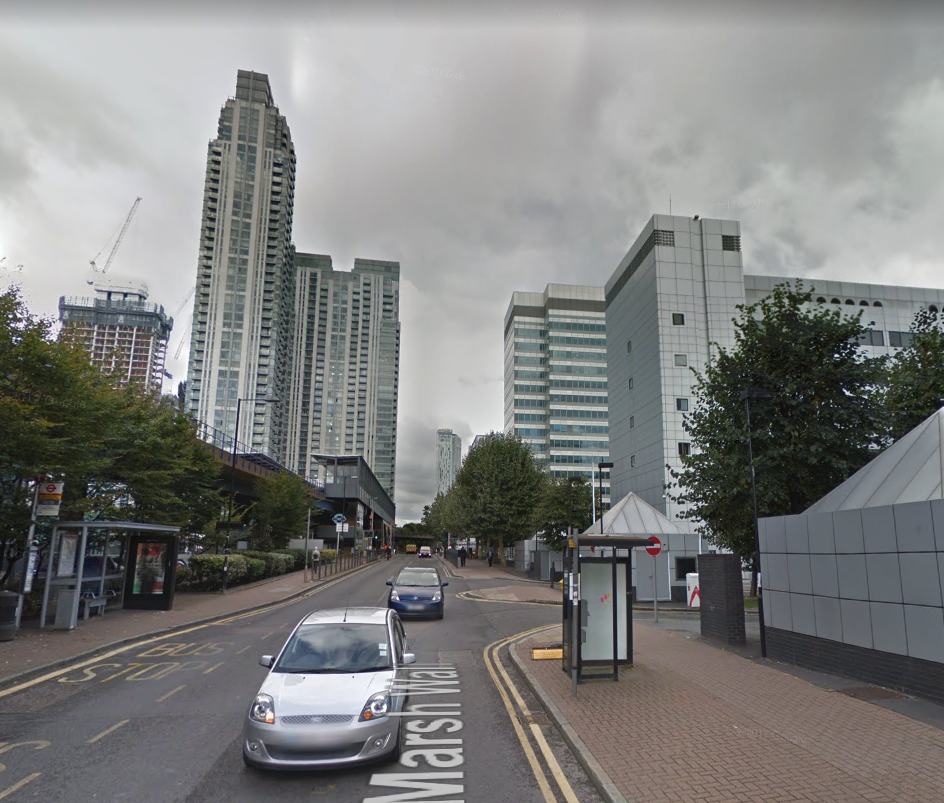
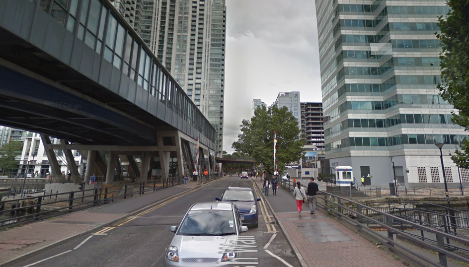
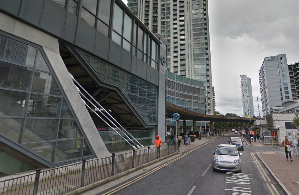
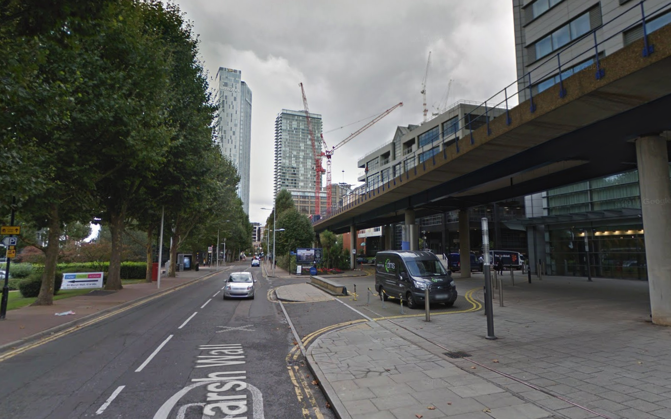
Looking at old and modern maps, trying to figure out the route, I thought it might be interesting to create some ‘Then and Now’ photos with the help of Google Street View. This turned out to be not so easy; although Marsh Wall follows some of the route, other parts of it have been built upon, or are now served by what are evidently private roads, where Google’s camera vehicles are not permitted. And also, there is very little left which is recognizable, only a few seconds of the film contain buildings which are still standing.
Still, I hope the results are interesting for residents of the Island old and new. The old maps, by the way, were published around 1950, at least 10 years before the film was made, so they don’t quite match the film in places. Clicking on most of the maps and images will display the full-size versions.
1. West India South Dock, South Quay (1960s)
1.
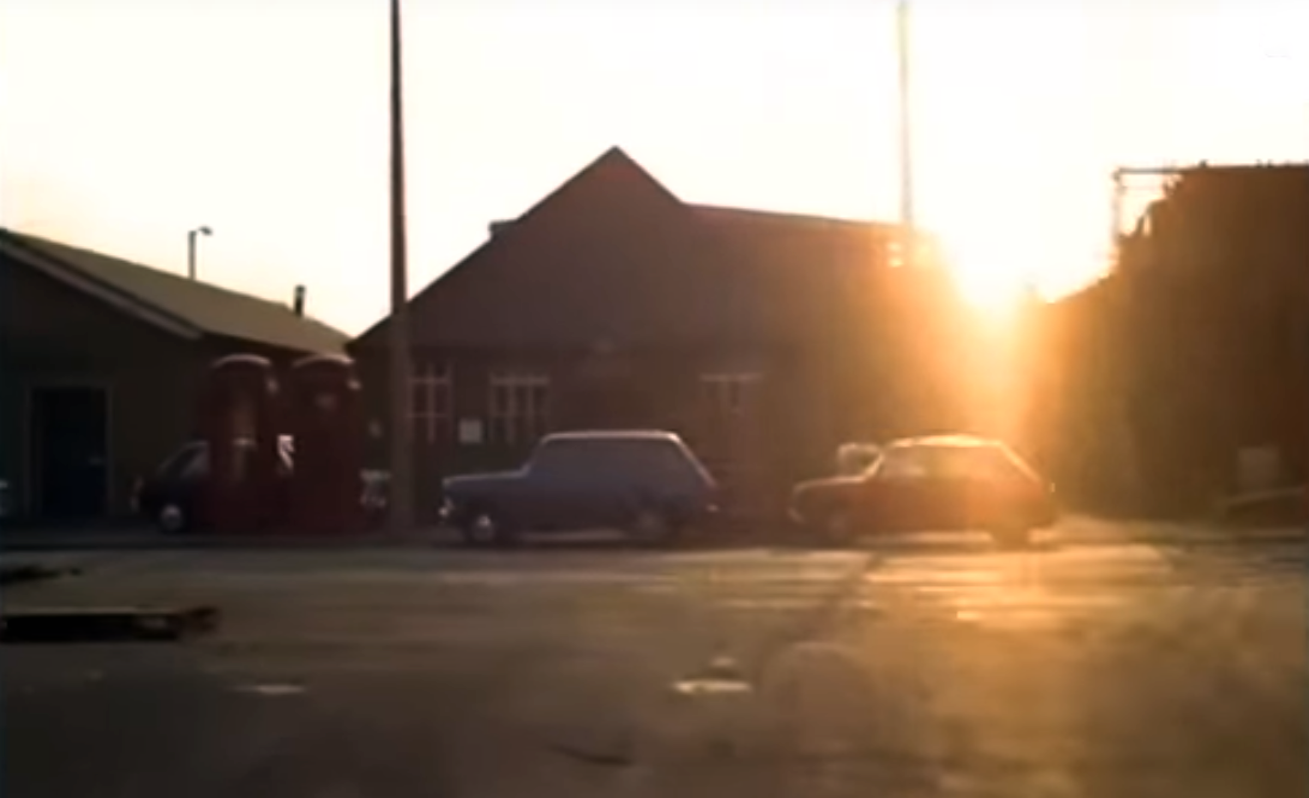
2. Looking south from the south quay.
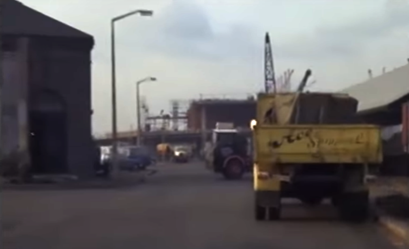
3. Looking west. The present-day Meridian Place approximately follows the path of this road.
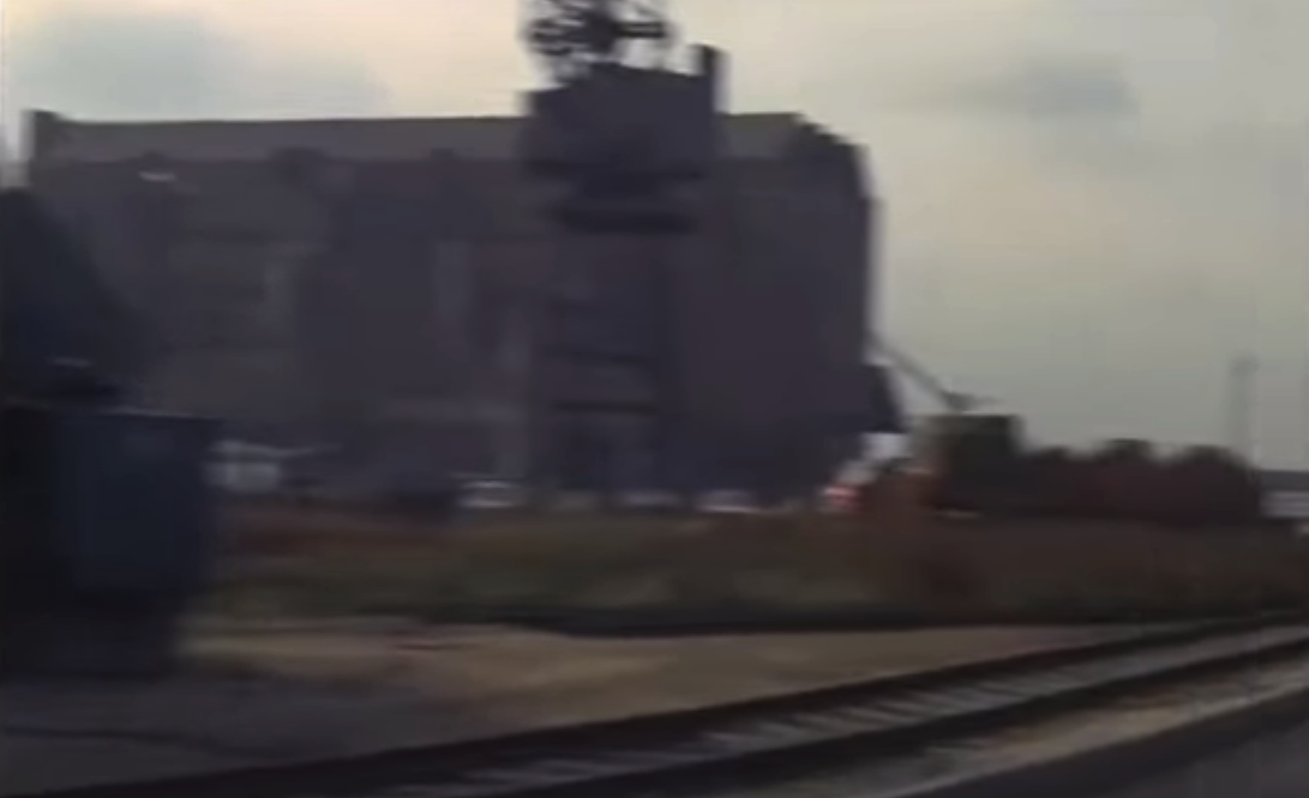
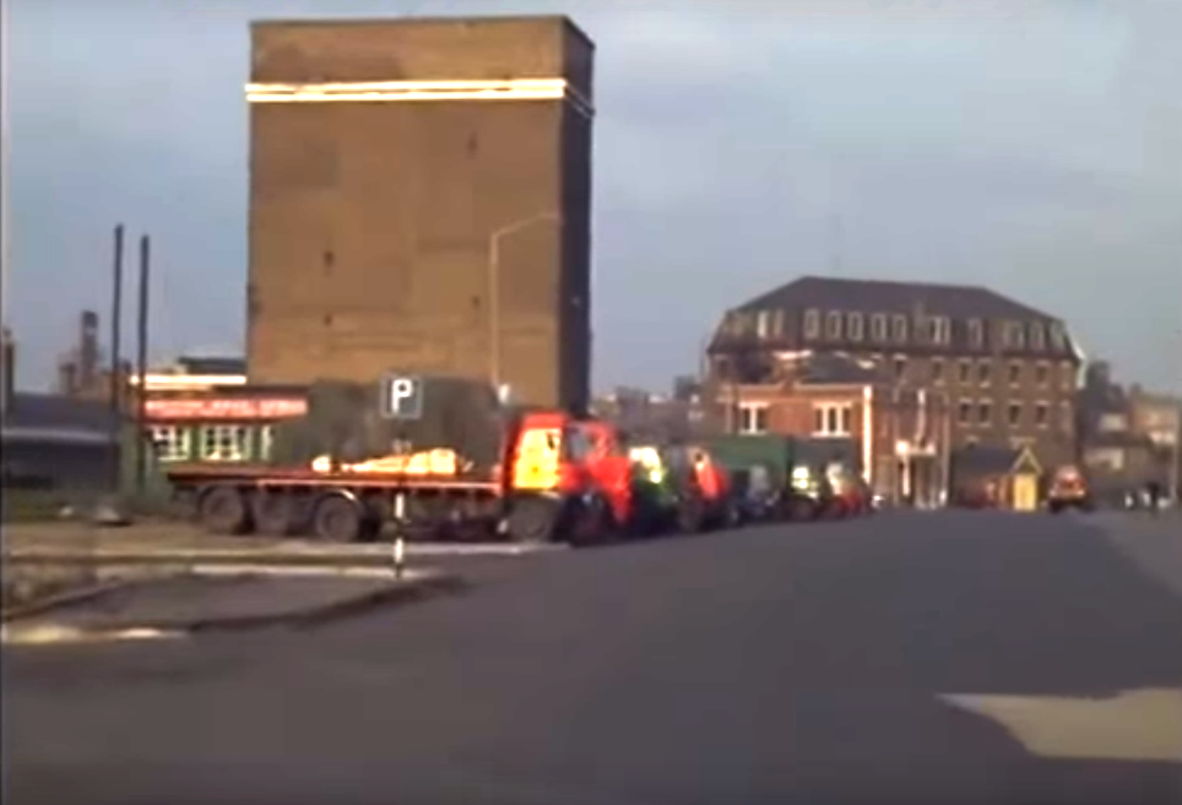
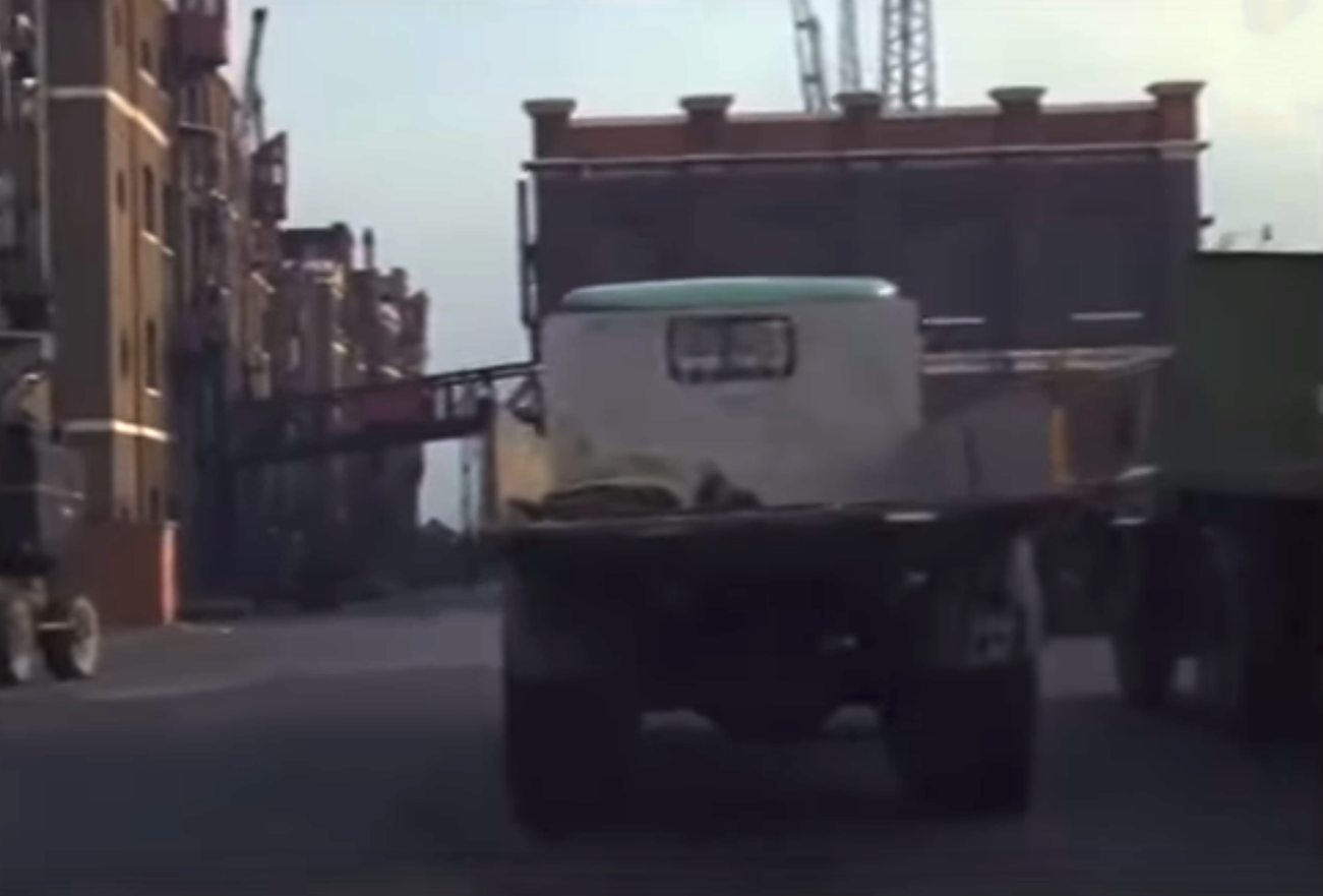
4. A blurred, short glimpse of Central Granary as the vehicle turns to the right, to head west again.
4.
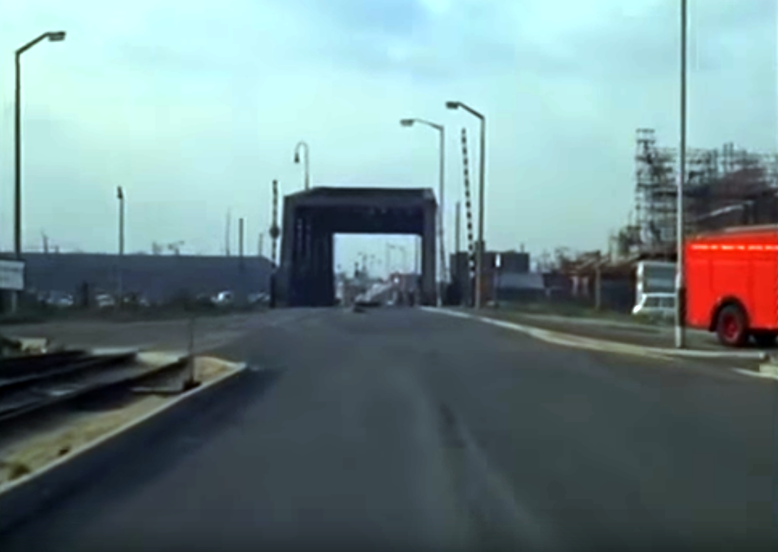
5. The iron bridge over Millwall Cutting
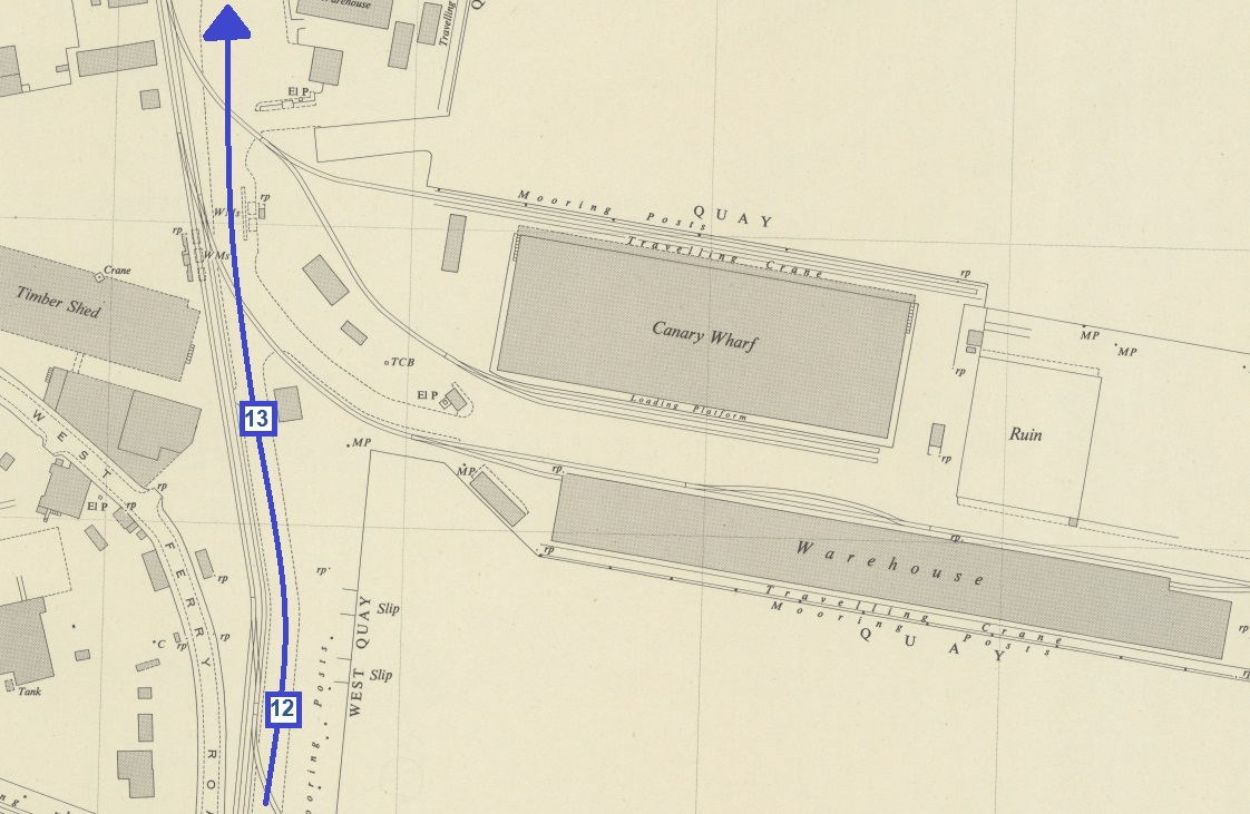
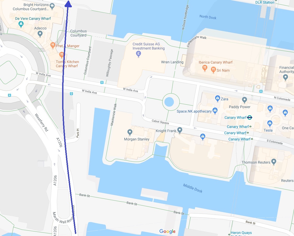
5.
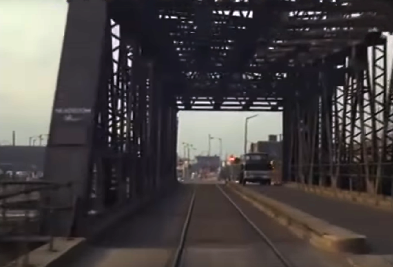
6. Driving on to the bridge.
6.
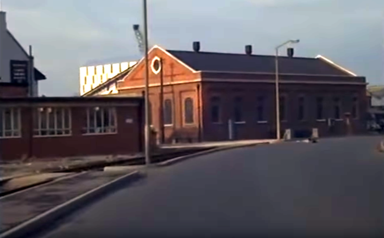
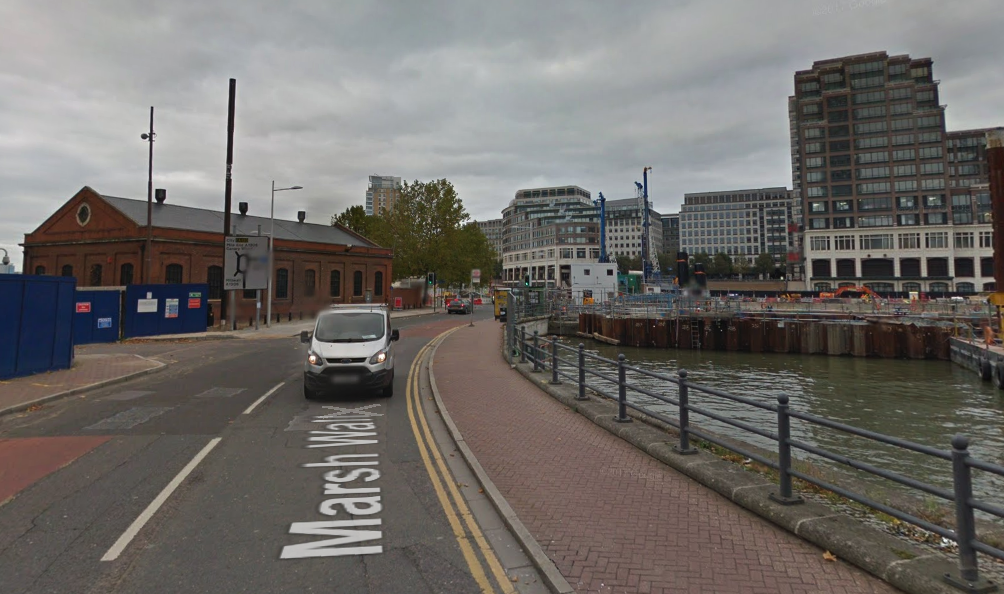
7. On exiting the bridge, the Western Granary warehouses are visible in the distance.
7.
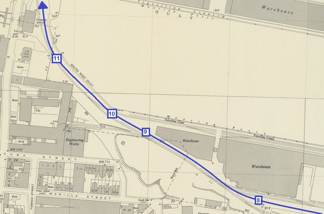
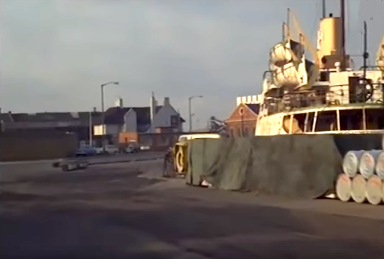
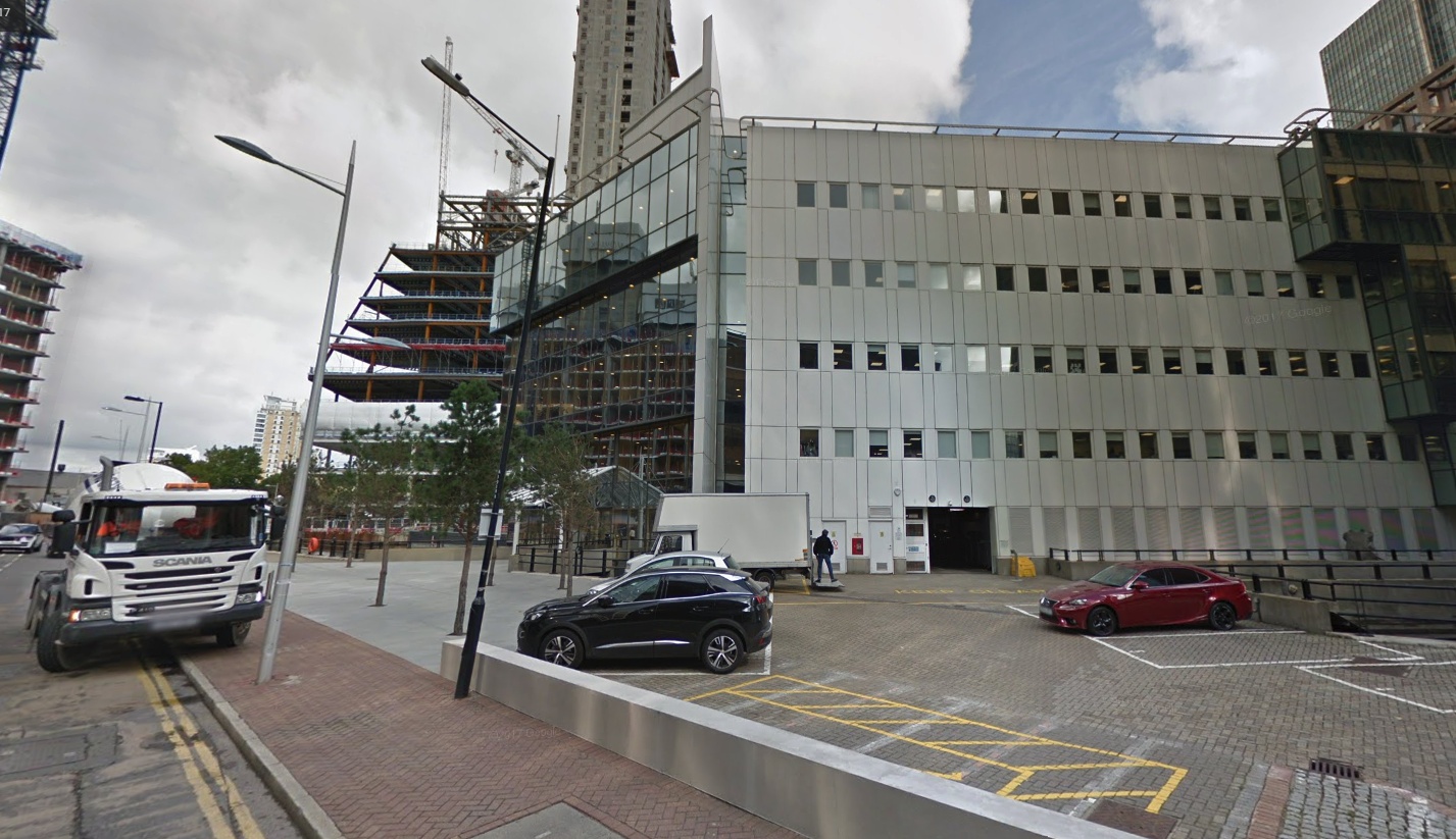
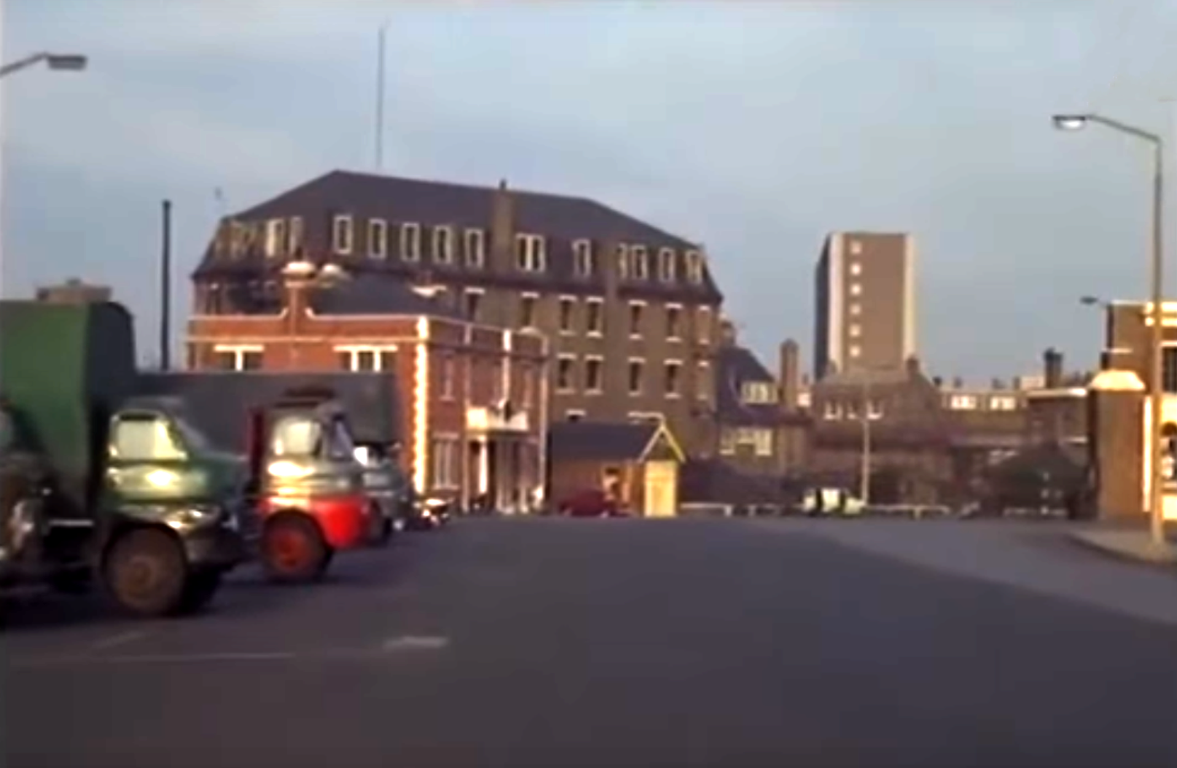
8. The electricity generating station on the left, and the old Morton’s riverside warehouse in the distance.
8.
9. The rear of the City Arms in the distance.
9.
10. City Arms closer by, and the South Dock visible again on the right.
10.
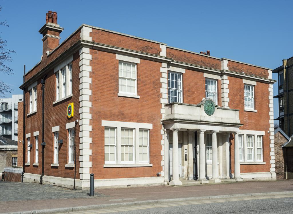
11. City Arms (L) and the impounding station (R)
11.
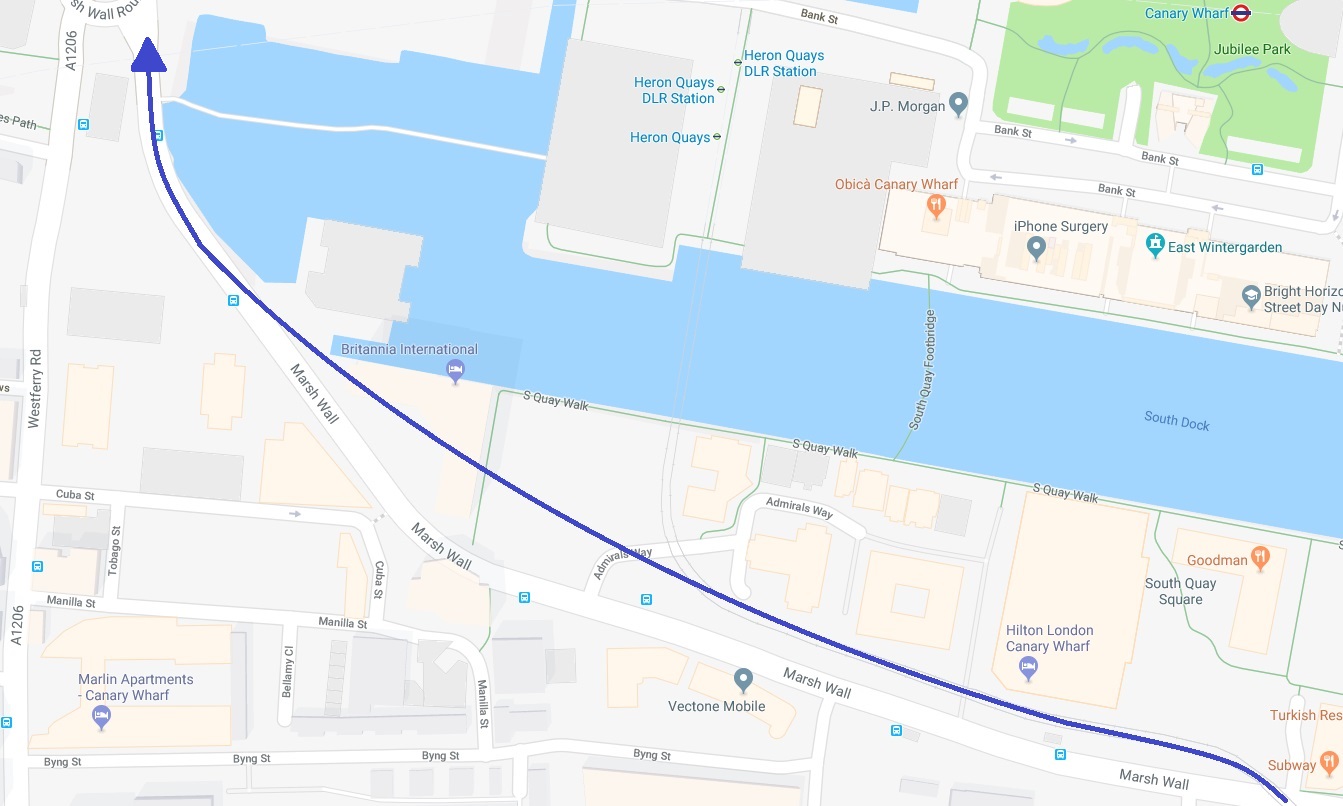
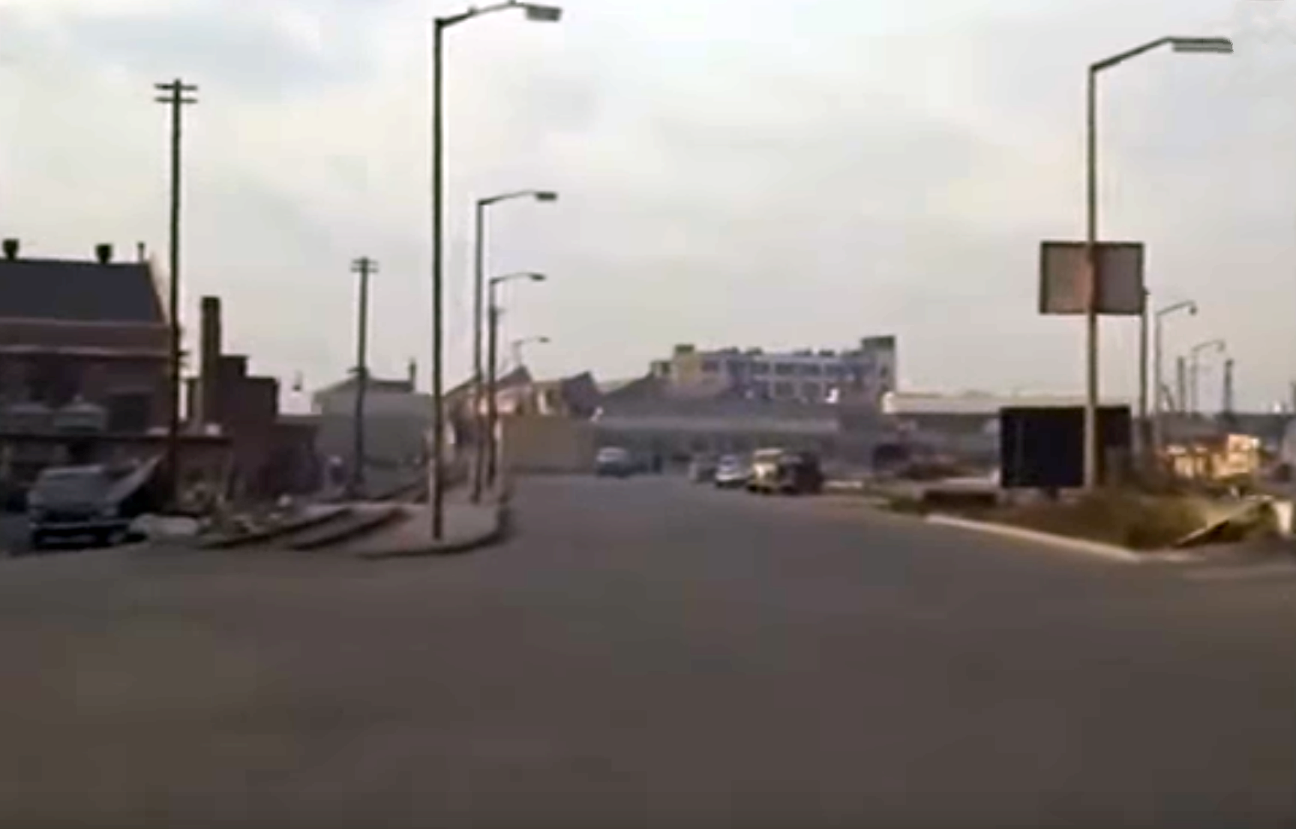
12. Canary Wharf is just out of view, beyond that low building in the middle foreground.
12.
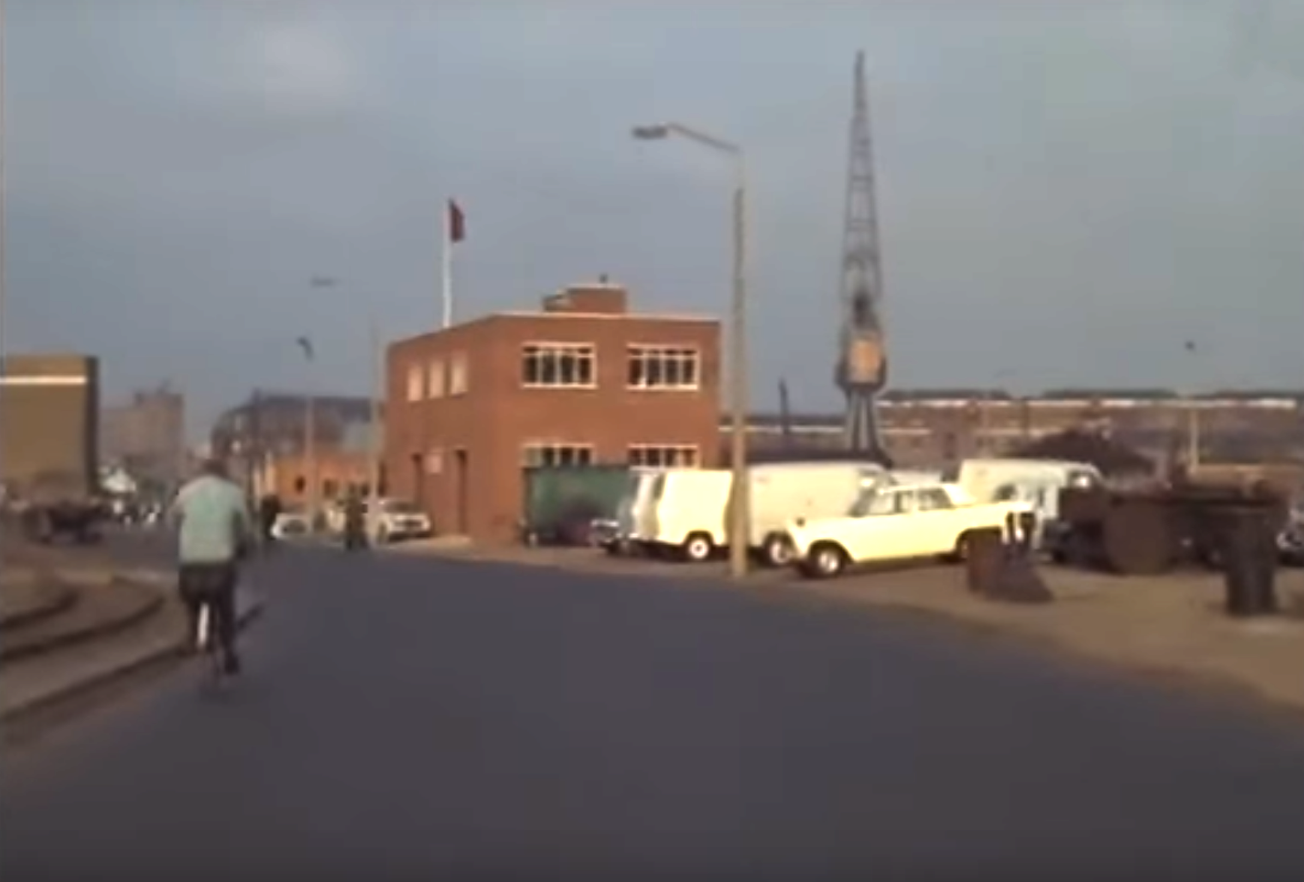
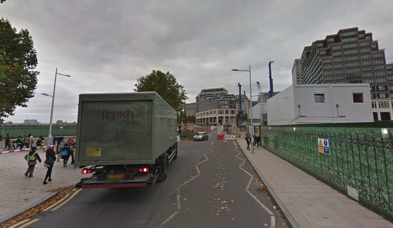
13. Former PLA police building in centre, and Salavation Army Hostel behind it.
13.
14. The police station and hostel closer by
14.
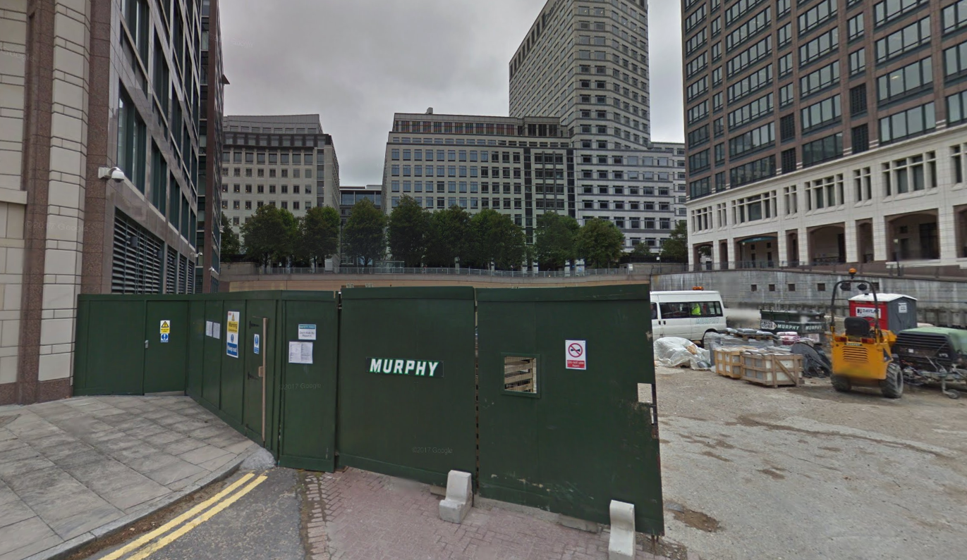
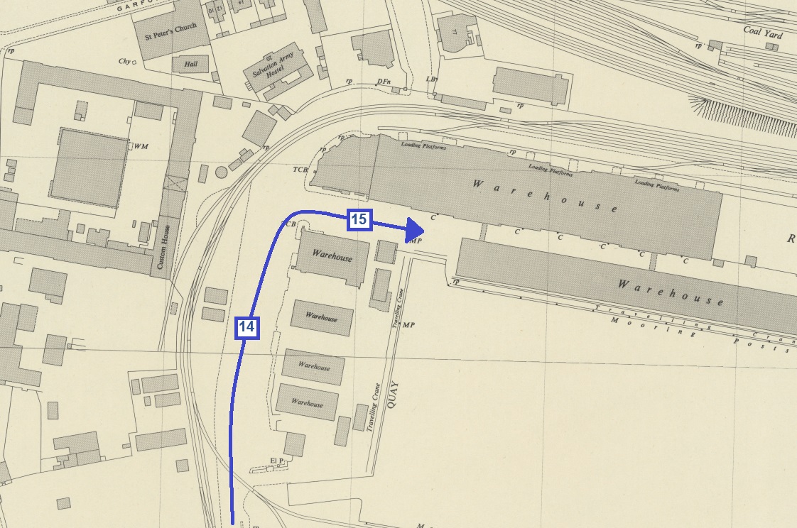
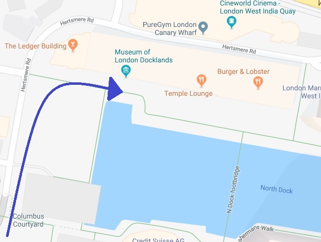
15. North quay warehouses on left.
15.


Fascinating thanks Mick.
Cheers Dave